Best Hikes near Chicago for 2026
From the Lakefront Trail to the sandstone canyons of Starved Rock, a Rogers Park lifer sorts the best hikes near Chicago by how far you are willing to drive, ride or pedal.
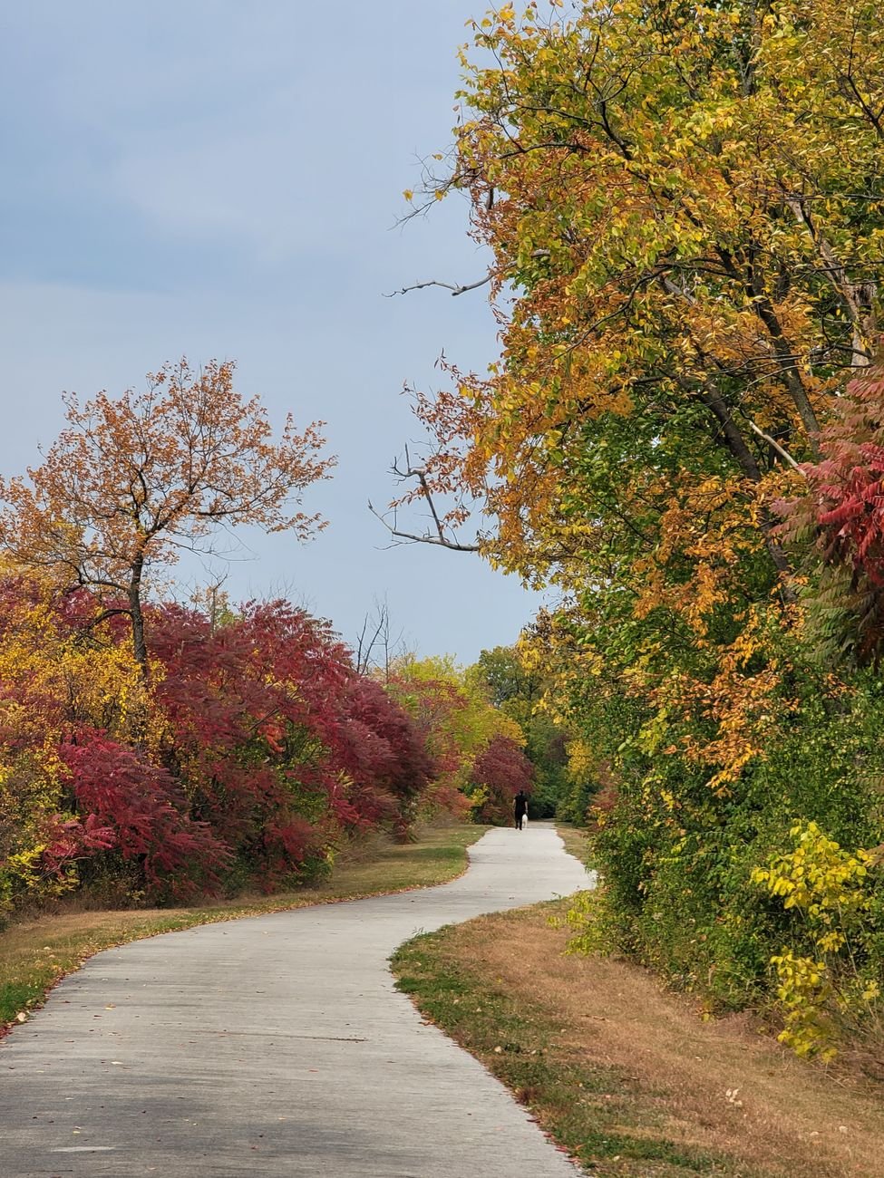
On a gray Tuesday in late October, the first thing you notice at Montrose Point is the sound. The lake is throwing itself at the limestone blocks hard enough that you feel it in your sternum, and a man with a spotting scope is standing perfectly still at the edge of a thicket of honeysuckle and sumac, waiting for a warbler that most of the city will never know passed through. Behind him the skyline sits there like a stage set. That is the particular joke of hiking here: the best hikes near Chicago begin before you leave the city, and the best of them keep going long after the L stops running.
I rented in Rogers Park for sixteen years, and I have walked, wheezed and occasionally gotten lost on every trail below. This guide runs from the lakefront outward: first the walks you can reach on a bus or a bike, then the forest preserves ringing the city, then the day trips that need a full tank and an early start. The region is flat, and anyone who tells you otherwise is selling something. What it has instead is water, glacial leftovers, oak savanna, tallgrass and a few surprising canyons. It also has a map shaped by segregation, which matters for who gets easy access to green space, so this guide gives the South and West sides real attention rather than a footnote.
The best hikes near Chicago, starting inside the city limits
City hiking is a different sport. You are trading solitude for convenience, and the reward is that a Wednesday after work becomes possible. The lake behaves like an ocean along this stretch, with real swells, real wind and a horizon that fools your eye. Everything in this section is reachable by the L, a bus or a bike.
The Lakefront Trail
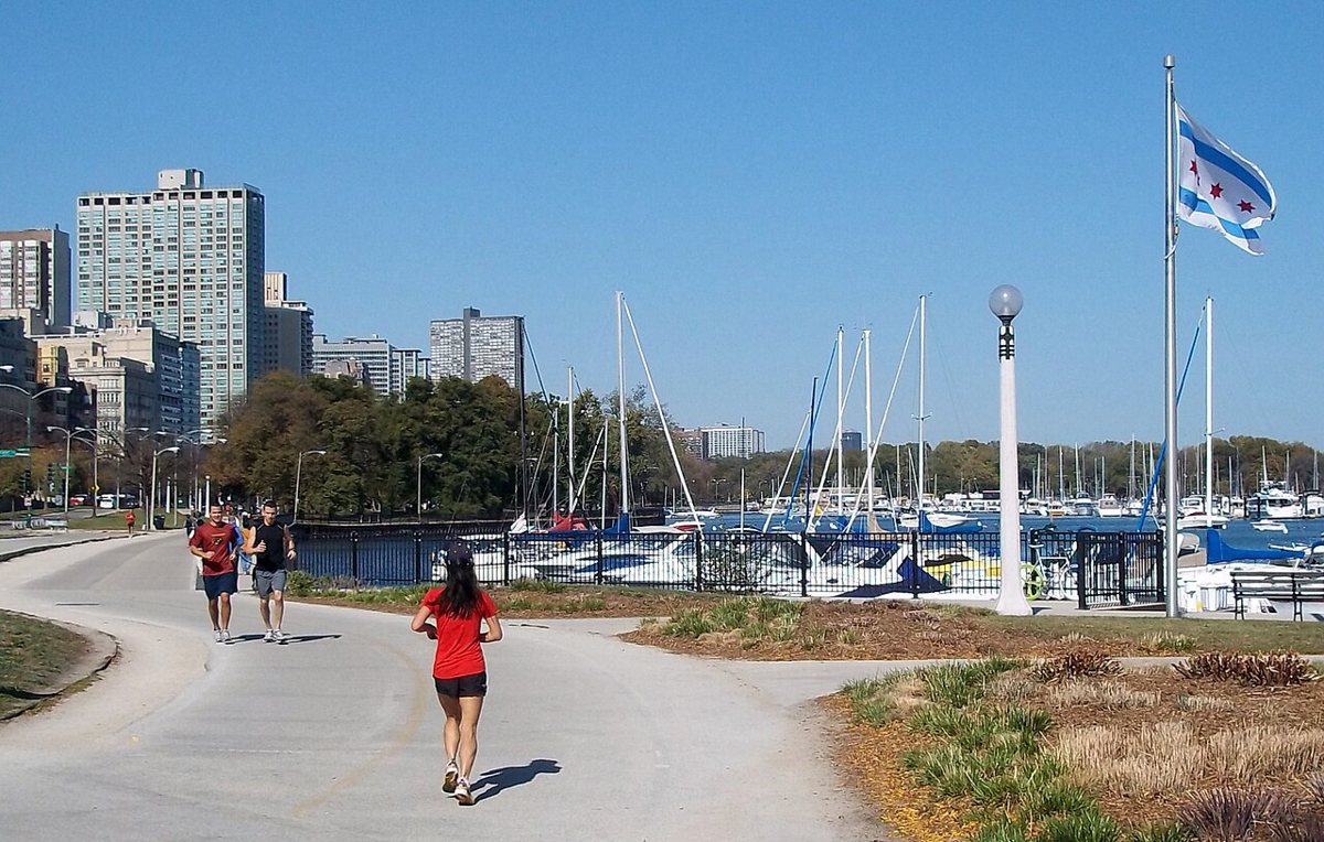
The Chicago Lakefront Trail runs for roughly eighteen miles along the shoreline, from the far north side down into South Shore. Most people treat it as a bike path, and on a summer Saturday it behaves like a congested expressway. Walk it early on a weekday and it becomes something else entirely. Start at the Rogers Park end near Loyola Park and you pass beaches where neighborhood families have set up folding chairs for decades. Keep heading south and the scenery changes block by block, which is the honest way to understand how the city is laid out. The trail moves through Edgewater, Uptown, the Gold Coast, the museum campus, Hyde Park and beyond, and the people using it change along with the neighborhoods.
The insider move is to pick a segment and finish it by transit instead of walking out and back. Montrose to the Museum Campus makes a good stretch, or the Museum Campus down to the Point in Hyde Park, and then you catch a bus or the Metra Electric home. Bring layers even in July, because the lake can drop the temperature fifteen degrees in an afternoon.

Montrose Point and the Magic Hedge
Montrose Point Bird Sanctuary, known to birders as the Magic Hedge, is a spit of dense shrubs and dune grass jutting into the lake on the north side. It is the single best place in Chicago to understand why migrating songbirds treat the shoreline as a highway. In May and again from late August through October, the hedge fills with warblers, thrushes and sparrows that have been flying overnight and need to land immediately. You will see serious people with serious lenses and also kids with borrowed binoculars, and everyone is friendly in the way of a shared secret that is no secret at all.
Walk the short loop around the sanctuary and then the breakwater edge toward the lake. The hike itself is brief, but the experience is long, because the whole point is slowing down. Go on a morning after a night of north winds in spring or fall, and ask whoever has the biggest scope what is around. They will tell you, in detail.
Northerly Island
Northerly Island sits just south of the Museum Campus and used to be Meigs Field, the lakefront airstrip the city bulldozed overnight in 2003. It is now a prairie peninsula with a crushed-stone loop, restored wetland and a calm lagoon, all with the skyline at your back. The first time I walked it, I was struck by how quiet the place was given what sits one footbridge away. Wind carries the sound of the Museum Campus off in the other direction, and what is left is tall grass, red-winged blackbirds and the occasional great blue heron lifting off the water.
It is an easy place for people who think they dislike walking. Pair it with a swim at 12th Street Beach in summer, or go in October when the big bluestem turns copper. Check current access, because the peninsula has seen concert-season closures and events that alter which gates are open.
Big Marsh Park
Any honest guide to Chicago nature has to go south, and Big Marsh Park on the Southeast Side is the reason. It sits near Lake Calumet in a landscape that used to be dominated by steel mills and slag dumps, and it is now a restored wetland complex where egrets, herons and shorebirds feed in plain view. The park has a nationally known bike course, but the quieter walking paths and boardwalks are the draw for hikers. You are hiking through land that has been repaired by people who live nearby and fought for it, and the effect is moving in a way no manicured trail can match.
The city's industrial past is visible on the horizon, with smokestacks and rail lines at the edges, and the park does not hide it. That contrast is part of the pleasure. Plan on a car or a long bus ride, bring bug spray in summer, and spend some time at the nearby Wolf Lake and Calumet shoreline as well. The Far South Side and the neighborhoods around it deserve more than a drive-through, and the birding here is some of the best the metro area offers.
The North Branch Trail
The North Branch Trail follows the North Branch of the Chicago River from the city's northwest corner up through Cook County forest preserves, passing Miami Woods, the Skokie Lagoons and eventually the Chicago Botanic Garden area. This is the walk for people who want a long stretch of green without leaving the commuter belt. The river is slow and brown, the oaks overhead are big, and the path is wide and mostly paved. You will share it with cyclists, so keep to the right.
The nicest segment, in my experience, is the stretch through the forest preserve woods north of Devon Avenue, where the city noise drops away and you can hear woodpeckers. In spring the ground is covered in woodland ephemerals. Try it on a weekday morning, and use the nearby Metra stops or the L plus a short bus ride to reach the trailheads.
Forest preserve hikes within an hour of the loop
The Cook County and DuPage forest preserve systems are the great Chicago equalizer, hundreds of miles of trails managed by county agencies and mostly free to enter. You will want a car for most of these. Transit gaps are real, and they fall hardest on the South and West sides, which is a policy failure and not a hiking problem. If you do not own a car, some of the community groups and park districts organize group outings, and they are worth asking about.
Waterfall Glen Forest Preserve
Waterfall Glen in DuPage County, around the Darien and Argonne area southwest of the city, is built around a loop trail that circles the Argonne National Laboratory campus. The surface is crushed limestone, the elevation changes are modest by hill-country standards and enormous by Chicago standards, and the woods are a healthy mix of oak, hickory and maple. It is the preserve I recommend to anyone who wants a proper long walk with a couple of leg-burning climbs.
The namesake waterfall is small, and you should not drive out expecting Niagara. What you get instead is a sense of how glacial ravines carved this region, plus long stretches of woods with few people. Early autumn is the best window, when the color arrives and the mosquitoes depart. Pack water, because services along the loop are thin.

The Morton Arboretum
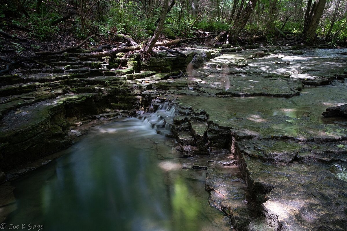
The Morton Arboretum in Lisle is technically a museum of trees, with an admission fee and a gate, and it still belongs on any list of the best hikes near Chicago. Several of its trails wind through genuine woodland and restored prairie, and you can string together a half-day walk that feels like a forest preserve with better signage. The Schulenberg Prairie is one of the oldest restored tallgrass prairies in the country, and walking it in late summer, with the grasses taller than your head, is one of the real pleasures of the region.
Go on a weekday morning and check current hours and admission before you leave, since both change by season. Fall color here is outstanding, and the collection includes species from around the world that you will not find in the wild locally. The paths are well marked and mostly flat, so this is also a good choice for mixed-ability groups.

The Palos Forest Preserves
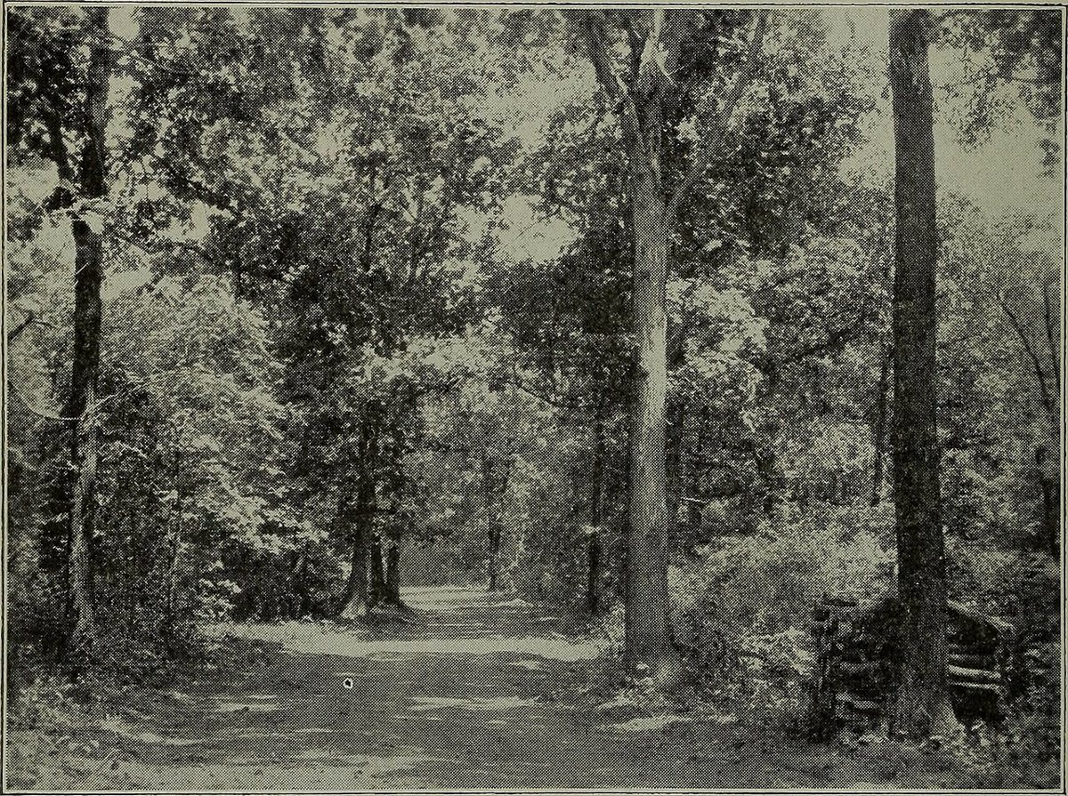
The Palos preserves on the southwest edge of Cook County are the hilliest ground in the immediate Chicago area and the closest thing to true backcountry. There are lakes, sloughs, ravines and miles of dirt trails used by hikers, riders and runners, and the whole area is threaded by the Palos Trail System. Cap Sauers Holding, within the Palos preserves, is a protected nature preserve with some of the finest woods and the most dramatic terrain, where you can spend a morning without seeing another person.
At nearby Swallow Cliff Woods, a long wooden staircase draws fitness crowds who climb it repeatedly, which is a spectacle worth seeing even if you only walk the top ridge. Mud is the main hazard after rain, and the trails can feel confusing until you learn the junction markers, so grab a map at the trailhead. Plan on about forty minutes to an hour from most of the city by car, and bring good boots in the spring.
Volo Bog State Natural Area
Volo Bog, northwest of the city in Lake County near the Wisconsin line, is the best place around to see something unusual. It is the last remaining quaking bog in Illinois with an open water center, a glacial relic where mats of vegetation float on a pond, and a boardwalk lets you walk out across the ring of tamarack trees and into the heart of it. The ground really does shift slightly beneath the plants nearby, and standing there makes you feel the post-glacial landscape in a way a textbook cannot.
The visitor center has useful context, and the walk is short enough that you should combine it with a trail loop in the surrounding grassland. Tamaracks turn gold in late October, which is the finest time to go. Mosquitoes in summer are the price of admission, so bring repellent and long sleeves.
Day trips worth the early alarm
The farther hikes ask more of you, but they repay the effort with scenery that Chicago itself cannot supply. Each is a long day, and with the right planning each is a satisfying one. If you would rather stay in town for one more weekend, a full day in the city will make a fine counterpoint, and for a different kind of escape, a longer day trip can include a hike plus a small-town lunch.
Illinois Beach State Park
Illinois Beach State Park in Zion, roughly an hour north of the city along the Wisconsin border, protects the only remaining stretch of natural Lake Michigan shoreline in the state. The rest of the Illinois coast has been built, filled or armored, so walking here is a glimpse of what the whole shore once looked like: low dunes, beach grass, sandy ridges and swales that hold surprising wildflowers. The wide beach is the obvious draw, but the inland trails through oak savanna and wetland are the real reward.
The Dead River area is a favorite for birders, and a long beach walk in either direction turns into a proper hike with soft sand underfoot. Winter is underrated, with ice formations stacking up along the shore and almost nobody around. Check seasonal closures and bring warm layers, since the lake wind here is serious.
Indiana Dunes National Park
Indiana Dunes National Park, about an hour east and south of the Loop and reachable by the South Shore Line train to the Dune Park station, is the best answer to the question of where to hike with the lake in the frame. It contains several distinct experiences in one park: towering sand dunes, forested ridges, a famous bog trail at Cowles Bog, and long beaches with a view of the Chicago skyline across the water on a clear day. Few places near a major American city offer this variety within a single entrance.
Pick one or two areas rather than trying to see everything. The West Beach dune succession trail teaches you how the landscape builds itself, from bare sand to mature forest. Cowles Bog is wilder and less crowded. Some dune climbs, including the iconic Mount Baldy, have had restrictions in recent years because of erosion and safety, so confirm current status before you drive. Sand makes every step harder than it looks, so budget extra time.


Starved Rock State Park
Starved Rock State Park, roughly an hour and a half southwest of the city on the Illinois River, is the marquee day hike in the region, and it earns the attention. Sandstone canyons cut into the bluffs, with waterfalls in spring and after heavy rain, wooden staircases, and overlooks that give you a long view across the river valley. French Canyon and LaSalle Canyon are the classics, and a walk between them gives you the full flavor of the place.
Crowds are the issue, particularly on summer weekends and peak fall color days, when the main trails fill by mid-morning. Arrive early, pick a weekday if you can, and walk beyond the first overlook, because the crowd thins quickly. For a quieter experience, nearby Matthiessen State Park offers a similar canyon landscape with fewer people. Winter ice falls in the canyons draw photographers, and trails can be slick, so bring traction.
Kettle Moraine State Forest, Southern Unit
Cross into Wisconsin and the landscape finally acts like hill country. The Southern Unit of Kettle Moraine State Forest, an hour and a half or two hours northwest of Chicago depending on traffic, is a glacial jumble of ridges, kettles and bowls, and it carries a long segment of the Ice Age National Scenic Trail. The woods here are thick, the climbs are real, and the trail system is extensive enough that you can pick a loop of nearly any length and difficulty.
The payoff is variety. You can walk through hardwood forest, across open prairie remnants and along the rims of small lakes, all in a single outing. This is the hike I recommend to Chicagoans who say they miss mountains. Go in early October for the best color, check for current trail conditions and any park vehicle sticker requirements, and plan a stop at a roadside cheese shop on the way home. Wisconsin insists on it.
Getting there, seasons and what to bring
Transit gets you further than most people assume. The L and buses cover the lakefront and a few preserve edges, the South Shore Line reaches the Indiana Dunes, and Metra serves several suburban trailheads on the north, west and south branches. Anything beyond that wants a car, which is a real equity gap, so rideshare splits and community hiking groups are worth considering. Check each agency's current service and parking details before you commit.
Seasons shape everything here. Spring brings wildflowers and mud, with trillium and Virginia bluebells carpeting the woods in April and early May. Summer is humid and buggy, and the best hours are early. Fall is the strongest case for the whole region, with color peaking from mid-October in the preserves and a little later in the state parks. Winter rewards the stubborn, with frozen waterfalls at Starved Rock and empty beaches up north.
The lake effect is the thing newcomers underestimate. Along the shoreline, temperatures can run well below what the forecast says inland, and a spring afternoon that feels mild on Clark Street can feel raw at the water. Wind off the lake bends the day, and fog sometimes rolls in without warning. Dress in layers, pack a windproof shell, and treat any lakefront hike as colder than you expect.
- Sturdy shoes with grip, since clay and sand are both slippery
- More water than seems necessary, because services are sparse on many trails
- Insect repellent from late spring through early fall, and a tick check afterward
- A paper or downloaded map, as cell service drops in the ravines
- A windproof layer for anything near the lake
Always verify current hours, fees, trail closures and parking before you drive. Rules change, floods close paths, and preserves shut gates for hunts and restoration burns.
The verdict from sixteen years of Rogers Park
Chicago is not a hiking city in the way Denver or Seattle is, and nobody here pretends otherwise. What it has is a quieter and more democratic kind of outdoors, one you build out of ordinary days. A walk at Montrose Point before work counts. So does a Saturday at Big Marsh, or an October afternoon among the tamaracks at Volo Bog. The region rewards repetition more than conquest, and the people who love these places most tend to know a single trail through all four seasons.
My advice is to pick one place from each section and visit it twice, once in your favorite season and once in your least favorite. Take a friend who has never been. Push for better transit and better access on the South and West sides, because the lakefront and the forest preserves belong to everyone and the map does not yet reflect it. The best hikes near Chicago are not the farthest ones. They are the ones you actually get to, again and again, with the lake somewhere nearby doing its enormous, indifferent work.